Read the map before the trail
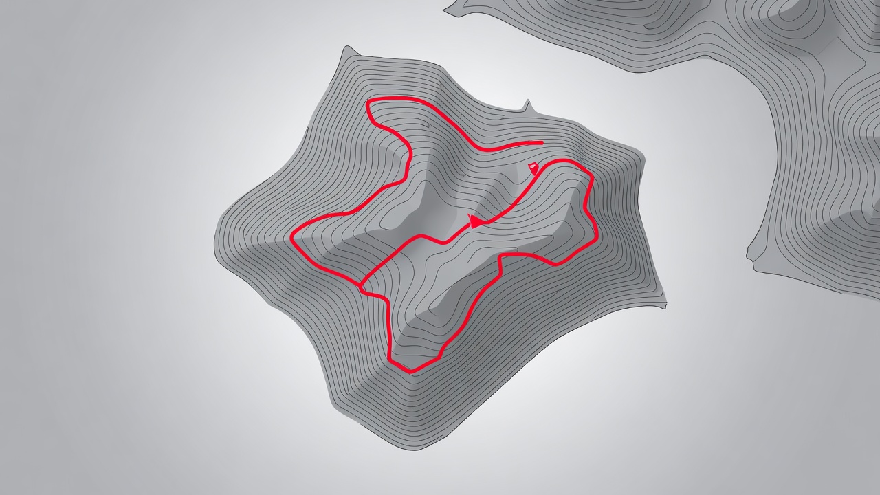
Norway's mapping authority, Kartverket, publishes free topographic maps through Norgeskart. On standard 1:50,000 sheets, contour lines are spaced at 20 metres. Tight bunches mean steep ground; a single line along a ridge means an exposed crest. Look for places where contours bend toward the water, as these spurs and points usually give open views along a coast in both directions.
Check which way your intended viewpoint faces, then match it to the light. West-facing headlands suit evening; east-facing coves suit morning. Marked hiking routes, including the red T waymarks used by the Norwegian Trekking Association (DNT), are drawn on most maps and tell you where a path is maintained.
Honest notes on famous viewpoints
- Preikestolen stands around 600 metres above Lysefjord. The marked trail takes most walkers about four hours return. The plateau is unfenced and crowded in summer, so arrive early or late.
- Trolltunga is a long day of roughly 10 to 12 hours for most hikers, with snow lingering into June. Outside the summer season, go only with a guide.
- Kjeragbolten, the boulder wedged high above Lysefjord, involves steep sections with chains. Stepping onto the boulder is a personal risk, never a requirement for a good frame.
- Reinebringen in Lofoten is reached by nearly 2,000 stone steps built by Nepalese Sherpas. Steps can ice over outside summer.
- Dalsnibba, at about 1,500 metres above Geiranger, and the Ørnesvingen bend on the Eagle Road are reached by road, offering enormous views with almost no trail impact.
Quieter alternatives
The same geometry repeats along every fjord and coast. Car ferries are moving viewpoints with low angles and full wall height. Roadside pull-outs on scenic routes often look across the very walls that hikers stand on. Low tide exposes rock platforms and tidal pools that give foreground without any climbing at all. Abroad, the same principle applies at Kirkjufell in Iceland or Mitre Peak in Milford Sound: the classic angle is a short walk away from a dozen less trodden ones.
Wind, exposure and edges
Coastal summits catch gusts that are rarely felt at the car park. Keep tripods low, keep bags clipped and keep a body length between yourself and any unfenced edge. If wind forces you to crouch, the view is telling you to come back another day.