Reading the wall
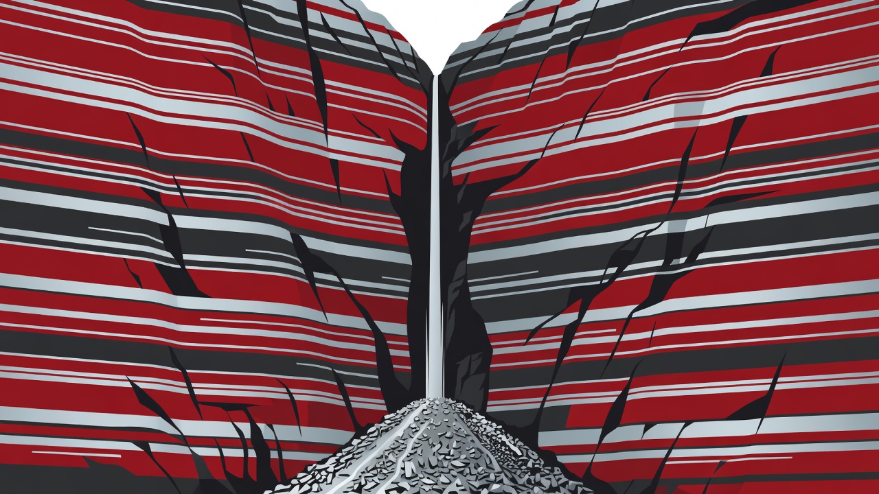
Stand opposite any fjord wall and give it five minutes before lifting the camera. Look for horizontal rock bands, which catch side light and give a frame its rhythm. Look for vertical gullies, which channel meltwater, rockfall and, in winter, avalanches. Fan-shaped debris cones at the foot of a gully tell you material comes down here regularly; they are places to pass through, not to linger.
Hanging valleys are the most photogenic feature of glacial terrain. Smaller tributary glaciers did not cut as deeply as the main ice stream, so their valleys now end abruptly high on the wall. Rivers leaving them drop as waterfalls, which is why fjords such as Geirangerfjord have so many. Following a waterfall upward on a map often leads you to a quiet plateau with a view back down the fjord.
Vegetation reads like a moisture map. Bright green stripes mark seeps and streams; bare grey rock marks recent rockfall or exposed slabs that shed water quickly. Pale, unweathered patches are fresh scars, and they deserve respect after heavy rain or thaw.
Scale without spectacle
A fjord wall several hundred metres high can look flat in a photograph because nothing gives the eye a reference. The answer is not a wider lens; wide angles tend to shrink distant walls further. Instead, include something of known size: a ferry, a farm building, a road switchback or a figure on a ledge. On Geirangerfjord the abandoned ledge farms of Skageflå and Knivsflå do this beautifully, small pale rectangles against an enormous slope.
A moderate telephoto, around 70 to 200 millimetres, compresses layered ridges and makes the wall feel as steep as it does in person. Shooting across the fjord rather than along it usually gives the clearest sense of height.
Rim, ledge or waterline
From the rim you gain depth and pattern but lose the scale of the wall itself, and you take on edge exposure and wind. Ledges give the most balanced view of height but are few, often on private farmland or reached by steep paths. The waterline, whether a quay, beach or ferry deck, shows the walls at full height and is usually the easiest and lowest-impact position of all.
Four fjords, four lessons
- Nærøyfjord is narrow, about 250 metres at its tightest point, and teaches vertical framing. It was inscribed with Geirangerfjord as the West Norwegian Fjords UNESCO World Heritage Site in 2005.
- Geirangerfjord teaches waterfalls and ledges, with the Seven Sisters falling opposite the single fall known as the Suitor.
- Lysefjord teaches granite and scale, with Preikestolen standing around 600 metres above the water.
- Hardangerfjord teaches softer slopes and season, with orchards blossoming along the shore in May.